
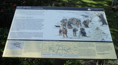
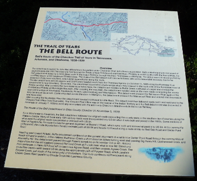
Two different routes on the Trail of Tears passed through the town of Pulaski in Giles County, Tennessee. A detachment of approximately 1100 Cherokee, led by John Benge, traveled through the county possibly between October 20 and October 23, 1838. John Bell led a detachment of 650 to 700 Cherokee that passed through Giles County between October 31 and November 5, 1838.
The Pulaski / Giles County Trail of Tears Memorial Interpretive Center, located in Pulaski's Pleasant Run Park, commemorates the history of the Trail of Tears in the area with an interpretive center, outdoor signs, a statue representing a Cherokee family, and an overlook of a site where the Trail route crossed Richland Creek. Bell's Route passed only a couple of blocks to the west of the Memorial site, down present day 2nd Street, and Benge's Route came within about 4 blocks to the southwest.

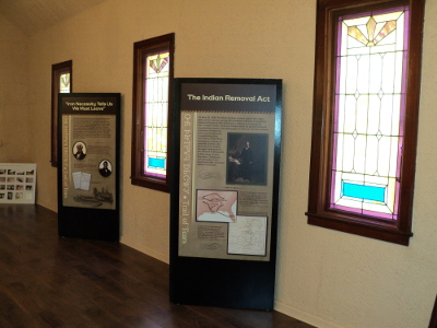
Exhibits on the grounds of the memorial and inside the Trail of Tears Interpretive Center give an excellent overview of the Trail of Tears in general and the Benge and Bell Routes in particular. The Interpretive Center isn't open on a regular schedule, but visitors can contact the Giles County Tourism Foundation at 931-424-4044 to make an appointment to visit the center. Pleasant Run Park is open every day so the exhibits on the grounds of the memorial can be viewed anytime.
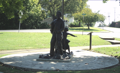
"The Trail Where They Cried", a bronze statue depicting a Cherokee family walking on the Trail of Tears is set off from the interpretive center in a prominent spot on one end of the park near the intersection of Stadium Street and South Rhodes Street.
The Bridge Overlook is near the intersection of West Cemetery Street and South Third Street, about a half-mile walk from Pleasant Run Park. The Benge and the Bell detachments both crossed Richland Creek here, with Bell's detachment crossing approximately two weeks after Benge's. The Cherokee very likely crossed the creek on a bridge built on stone pilings visible from the overlook.
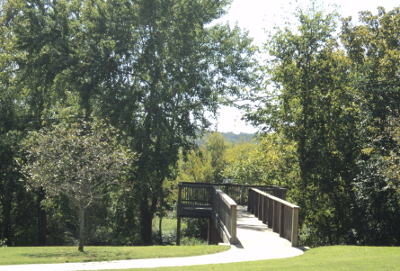
The Pulaski / Giles County Trail of Tears Memorial Interpretive Center is in a very nice location. The Pleasant Run Eco-Trail follows Pleasant Run creek on the west side. Markers identify many of the trees along the trail, and picnic tables are placed under the trees. See the photo gallery below for more photos.

The Interpretive Center sponsors the Annual Vicky Garland Memorial Pow Wow in April, the Bell and Benge's Memorial Motorcycle Ride in September, and a Memorial Walk in November. Click here for more information.
Directions: The Pulaski / Giles County Trail of Tears Memorial is about an hour and a half drive south of Nashville and about 2 hours north of Birmingham, Alabama. Its about 20 minutes from I-65 via Hwy. 31/Lewisburg Highway, and about 15 minutes from I-65 via Hwy. 64/Fayetteville Highway.
The entrance to the Interpretive Center grounds is at the intersection of Stadium Street and Spofford Street in Pulaski, Tennessee. Follow the link below for a Google map and just put your location in to get directions.
Pulaski/Giles County Trail of Tears Memorial - Google Maps
The Bridge Overlook is near the intersection of West Cemetery Street and South Third Street in Pulaski, Tennessee. Follow the link below for a Google map and driving directions from the Interpretive Center to the Overlook.
Downloadable/Printable Map - Trail of Tears Routes Through Pulaski
Driving The Trail of Tears From Interstate 65 To Pulaski and Lawrenceburg:
If you're planning a special trip to visit the Trail of Tears locations in Pulaski, it may make sense for you to visit the Trail of Tears locations in Lawrenceburg as well, since the towns are only about 20 miles apart.
It's possible to drive almost the route taken by the Cherokee detachment lead by John Bell from a point near Interstate-65 to Pulaski, Tennesse and then to Lawrenceburg, Tennessee. The Benge detachment also followed the same route for a short distance through Pulaski. The first map below gives directions for driving the original Trail of Tears route from I-65 to the Pulaski Trail of Tears Interpretive Center. The second map gives directions from the Pulaski Interpretive Center to the intect Trail of Tears roadbed visible in David Crockett State Park in Lawrenceburg. Click the Google Map links below for details.
The Trail of Tears From I-65 To Pulaski, Tennessee - Google Maps
The Trail of Tears From Pulaski To Lawrenceburg, Tennessee - Google Maps
Trail of Tears Tennessee Map and Guide - National Park Service brochure
